Antique Art
Old Maps of Arabia
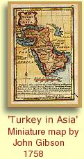 The first collections of maps in bound books or atlases date from the Renaissance period in Europe, with the invention of printing. The early cartographers based their maps of the Arabian Peninsula on maps made over one thousand years earlier by the Roman geographer, Ptolemus. Incredibly, this was the best source of information they had -produced before the Dark Ages - on virtually unexplored and unmapped areas of the then known world. Ptolemy's maps formed the basis of mapping until well into the 17th century.
The thirst for knowledge was so great and the need for printed books so huge, that many editions of small 'pocket' atlases were printed to satisfy public demand. In the Gallery we have maps dating from the 1500s up to the 19th Century.From the mid-19th Century expeditions to the area became more common and cartographers were able to rely less on hearsay and guesswork and more on actual recorded facts.
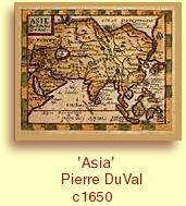 Many of the older maps have elaborate title cartouches or are decorated with fighting ships or sea monsters! The pictorial aspect of these early maps is enjoyable and important, as the value will often increase substantially with the amount of decoration and embellishment. BAHRAIN is almost always marked on the old maps of the Arabian Peninsula. It is often named, being referred to as BAHAREM, or TYLOS in earlier maps. MUHARRAQ is usually shown and referred to by a variety of names, usually SANAD ISLAND. Interestingly, ARAD is often named. Some of the maps show the extent of the PEARL BANKS around Bahrain - showing the world wide knowledge and importance of this industry.
David Roberts pictures
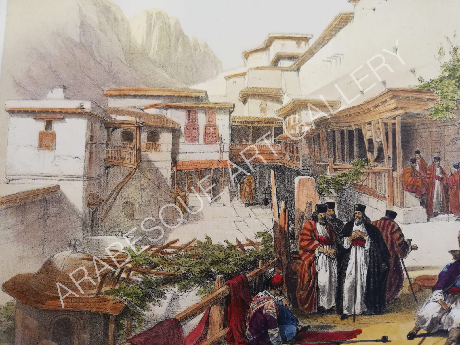
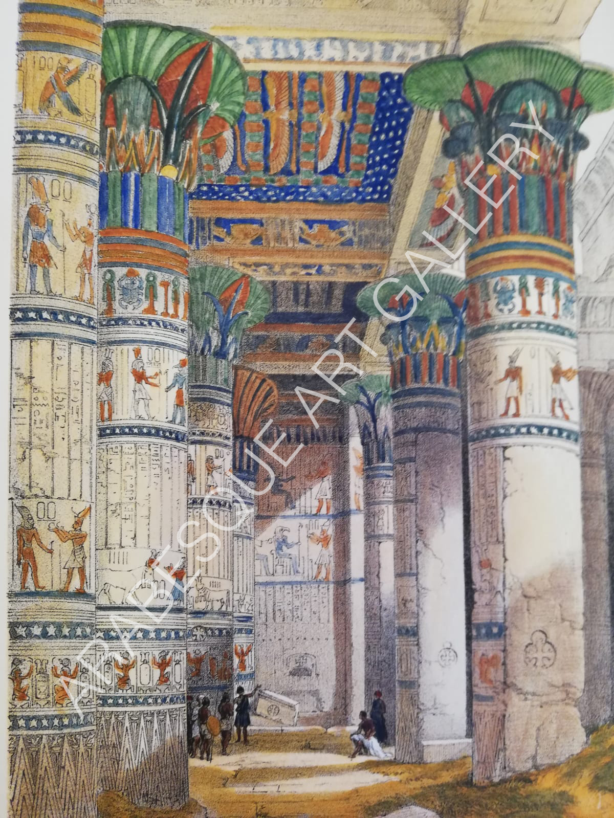
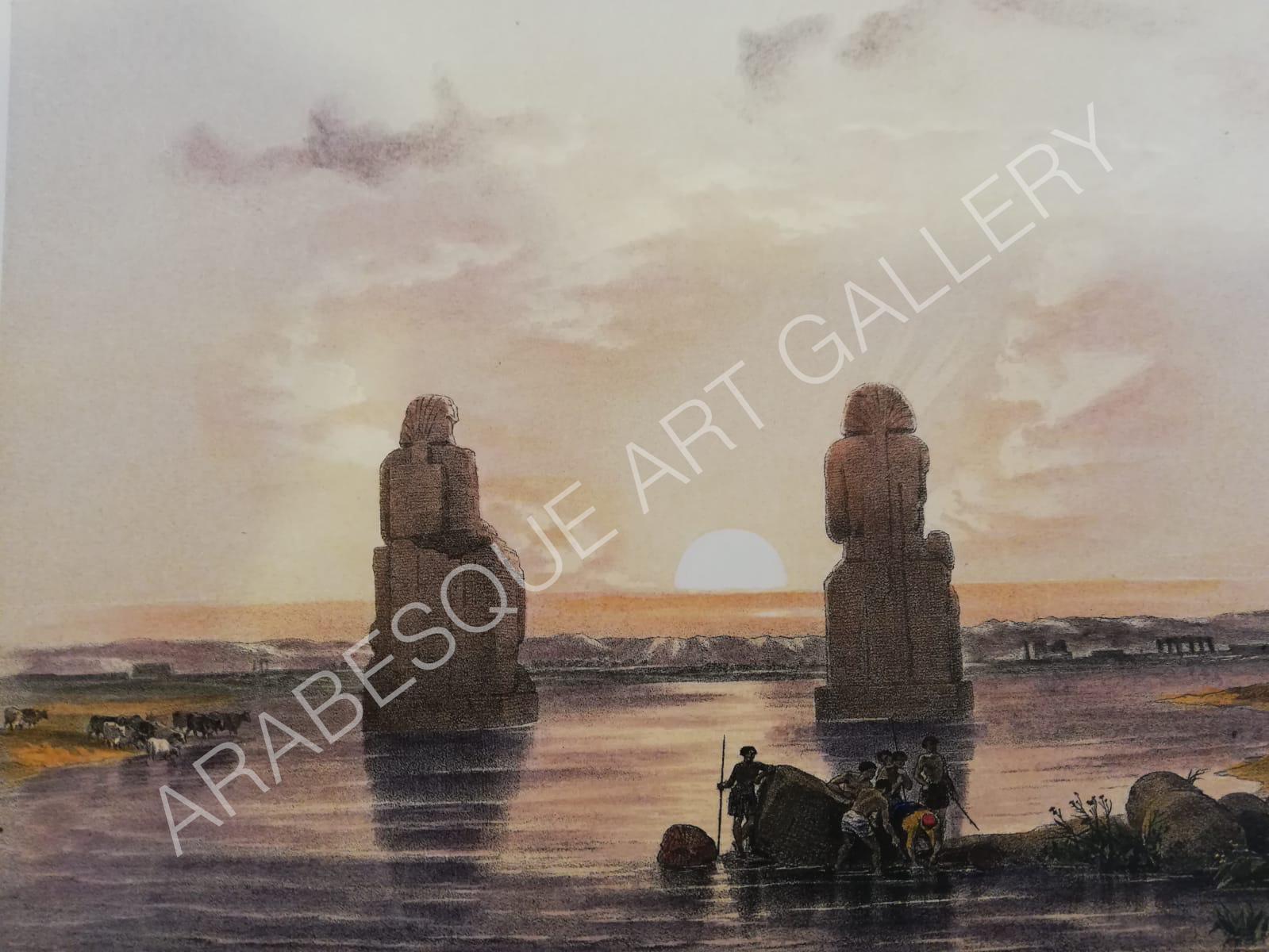
Artist - DAVID ROBERTS (1796-1864)
FIRST EDITION ORIGINAL LITHOGRPAHS
David Roberts was a Scottish painter of the Victorien era. He is especially known for a series of detailed lithographs titled,
The Holy Land, Syria, Idumea, Arabia, Egypt and Nubia
Working from drawings and watercolour sketches he made during a long tour of the region lasting 2 years from 1838 to 1840, with the help of talented lithographer Louis Hague, and the backing of publishers F.G. Moon, he published the first part of this extensive work in 1842, to great acclaim. He counted Queen Victoria and many influential members of the British aristocracy as his patrons and the Limited Subscribers Edition, and the First Folio Edition, published between 1842 to 1848 were a roaring success. He followed this with the smaller quarto edition, published in 1856 using publishers Day & Son. These quarto sized images continue to be a much more affordable way of acquiring an original Roberts lithograph.
His lithographs together with his large oil paintings of similar subjects (now in museums around the world) made him the most prominent Orientalist painter of the period.
In the gallery we sell the original lithographs from both the First Folio Edition and the Quarto Edition.
All are hand coloured following the technique of the traditional colourists, and all come fully guaranteed with a Certificate of Authenticity.
 |
 |
 |
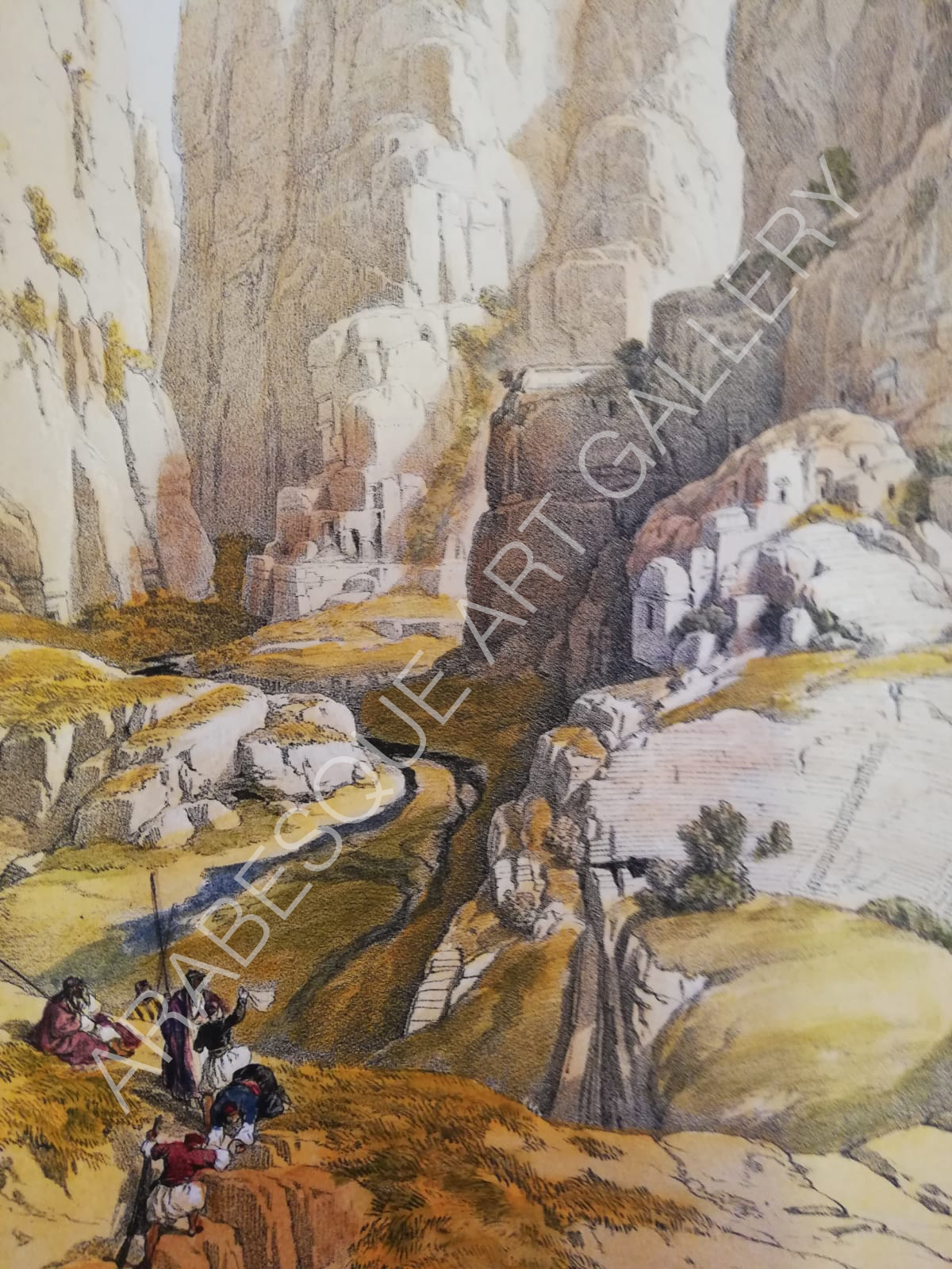 |
| Principal Court of Convent of St. Catherine, Sinai | View Under the Grand Portico of Temple of Philae | The Statues of Memnon | Minaret & Grand Entrance of the Metwaleys, Cairo |